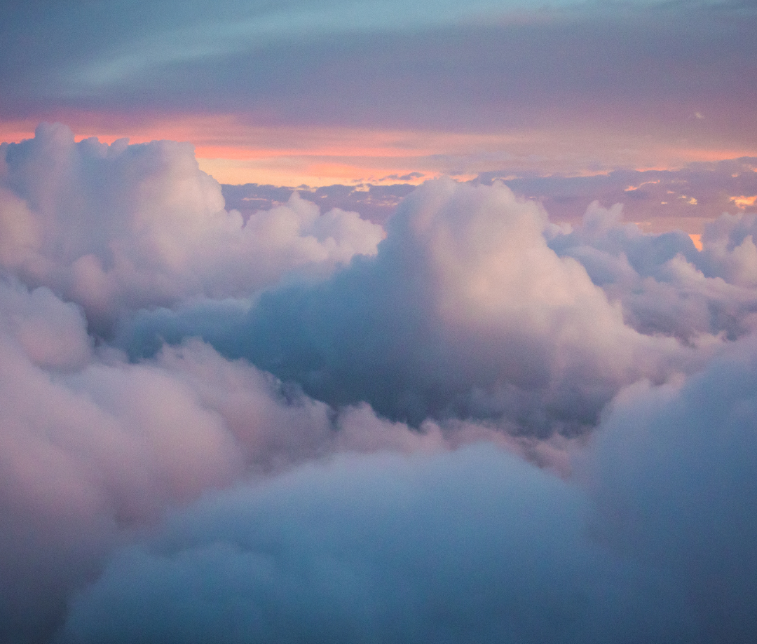
What Are Clouds?
Clouds are large groups of water droplets that are heavy and condensed enough to become visible while in the sky. Some clouds can be as low as 2000 metres, while others are over 20,000 metres high. They often coincidentally take the shape of familiar-looking objects, and when the mass of the clouds, rain can fall.
How Do Clouds Form?
Clouds form when water evaporates into the air. The water droplets come together, which forms clouds. However, not all clouds are identical. Some clouds are different in how they are formed, how high up in the atmosphere they are, and what they do once they become clouds. Below are a few examples.
Low-Level Clouds
Low-level clouds are generally at around two kilometres above the ground, although this height can vary, as they can be both above and below this height.
Stratus Clouds
Stratus clouds are often flat, having lots of surface area on the bottom. The word “stratus” even comes from the Latin word Strato, which means “layer” or “sheet”. They often take up large amounts of the sky when they are present, which means they are largely responsible for cloud cover. They also tend to be much lighter colours, usually white or light grey, although they are occasionally darker. They often contain large amounts of moisture and are common in areas with high humidity. They will often cause there to be light amounts of rain or snow in the area that they cover. They are often compared to what fog would be like if it were at cloud level.
Stratocumulus Clouds
Often found in large groups, stratocumulus clouds are one of the most common types of clouds on Earth. In fact, this is the type of cloud that most people initially think about when they think of clouds. They are described in many ways, from “puffy” to having a “honeycomb” shape. Although they rarely produce more than just a little bit of rain, they often appear shortly before, and shortly after large amounts of precipitation, and darker-coloured ones are often seen as an indicator of upcoming storms.
Nimbostratus Clouds
Nimbostratus clouds are larger clouds that are often very dark in colour and are the type of cloud most commonly associated with large amounts of precipitation. Even though they are often associated with large amounts of rain and/or snow, they rarely cause thunderstorms and instead tend to form prolonged periods of moderate or heavy precipitation. Despite usually being associated with low-level clouds, they often form higher up in the sky and usually fall to lower levels when they get heavy enough.
Mid-Level Clouds
Mid-level clouds tend to be between two and seven kilometres in the air, although this again is not an exact measurement. Sometimes they are higher up there with higher-level clouds, and often peak down to being at the levels associated with lower-level clouds.
Altocumulus Clouds
Usually described as being “patchy”, altocumulus clouds are often a sign of changing weather. They, like their lower-laying cousins, stratocumulus clouds, often appear in good weather, but since they often form in unstable atmospheric conditions, they are often a warning sign of precipitation and possibly even thunderstorms coming within a few hours, especially when they appear in the afternoon.
Altostratus Clouds
Altostratus clouds are very thin, often thin enough for the sun to be able to shine through them. They often have a grey or almost even blue hue to them and are often almost featureless when looked at from the ground, although sometimes they look very much like thick streaks lined up, side by side. They rarely cause precipitation themselves, but also often precede either rain or snow.
High-Level Clouds
High-level clouds are usually formed and stay at over five kilometres in the air, although sometimes they are lower.
Cirrus Clouds
Cirrus clouds are made up mostly of ice crystals, but also warm the earth in large numbers, and become more common with warmer temperatures. With the increasing amount of global warming currently happening, there is the possibility of a feedback loop or self-reinforcing cycle being created, where more warming leads to more cirrus clouds, leading to more warming, which will continue.
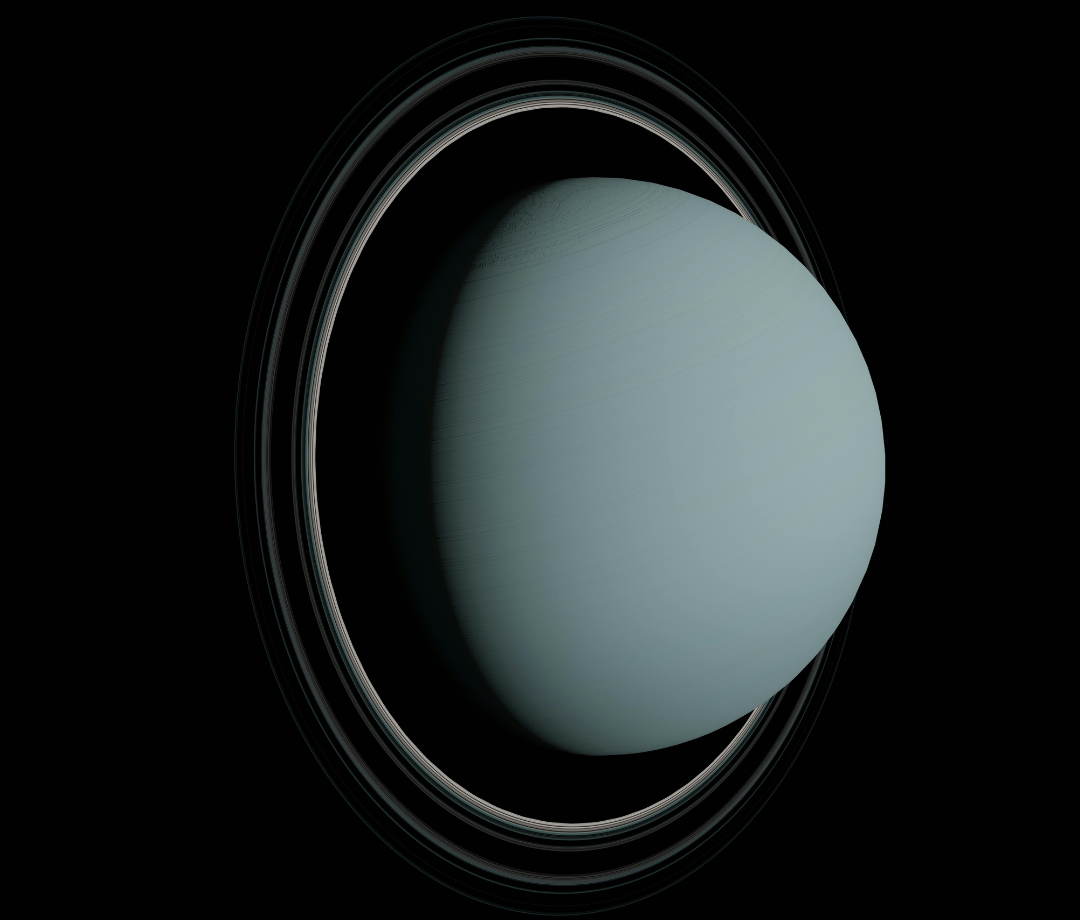
Curris clouds often appear in a “whispy” form and are often at the top of the atmosphere during thunderstorms, and even more powerful weather systems, such as hurricanes. On an interesting note, although they are made up of differing compounds, they can also be found in other places in the solar system, including Mars, each of the four gas giants, and even Titan, a moon of Saturn.
Cirrostratus Clouds
Cirrostratus clouds are extremely thin, and their presence can also cause the sun and moon to begin to form a “Halo” effect. In addition, they are nearly completely transparent, are they are also often a warning of incoming precipitation, although they do not often come with rain or snow.
Vertically Developed Clouds
Vertically developed clouds are often so large, that a single cloud can be seen at all three previously mentioned levels of clouds at once, essentially making them fit into the low-level, mid-level and high-level cloud categories all at once.
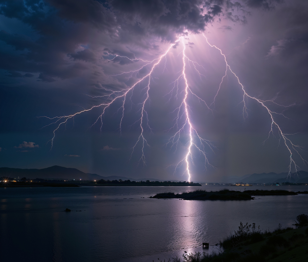
Cumulonimbus Cloud
Often called “thunder clouds”, or “storm clouds” in weather reports and everyday conversation, cumulonimbus clouds are the ones that are usually present in thunderstorms. They are usually dark-coloured, and will almost always contain large amounts of precipitation, with hail also being somewhat common. It is also not unusual for them to contain some amount of hail. In extreme cases, they can develop into creating supercells, which can lead to tornadoes, especially if seen in tornado alley.